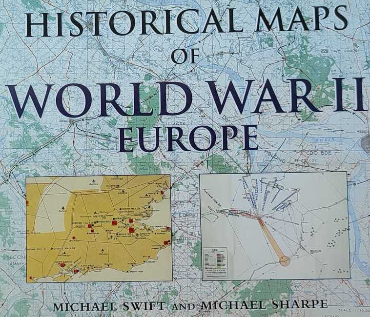
Historical Maps of World War II Europe
13.27 €
Autor: Michael Swift and Michael Sharpe
Izdavač: PRC Publishing, London
Godina izdanja: 2000.
Broj stranica: 144
Dimenzije: 29×25 cm
Uvez: tvrdi s ovitkom
Na zalihi
Kategorija: POVIJEST I PUBLICISTIKA
Historic Maps of World War II: Europe does not try to retell every point in the story of the war in Europe, rather it seeks to provide through contemporary or near contemporary documents – a different view of the war and suggest avenues for further research. In over a hundred maps it looks both at the broad sweep of events such
as the invasion of Europe in June 1944 and at details. – such the two-man X-craft attack on Tirpitz to provide a fascinating sample of how events during the war were mapped out. Maps and illustration were vital to the conduct of the war: before each military event there was the planning, the reconnaissance, the conjecture as to enemy dispositions; after the event there would be debriefing, analysis of success and failure, and a redrawing of maps to show new troop positions and boundaries.
All the maps illustrated in this book have been drawn from the large collection held by the Public Record Office (PRO) at Kew in west London. This is the major holding of all public documents in the United Kingdom. The maps are derived from a number of government departments and reflect the interests and concerns at the time they were drawn. All the maps have their PRO reference number at the end of the caption to facilitate further research.
Povezani proizvodi
POVIJEST I PUBLICISTIKA
66.36 €
POVIJEST I PUBLICISTIKA
20.00 €
Akcija!
Akcija!
AKCIJA
POVIJEST I PUBLICISTIKA
26.50 €
Akcija!
AKCIJA
POVIJEST I PUBLICISTIKA
23.89 €
POVIJEST I PUBLICISTIKA
20.00 €


